Lanzarote Tourist Attractions Maps | City Tours Map
Lanzarote is a great holiday destination for anyone looking for a relaxing place to unwind and spend some quality time with family and friends. It has great weather all year round and the beaches are truly stunning. Lanzarote is also a great destination for outdoor exploration. Here, you can explore the Timanfaya National Park, a unique rocky landscape that was formed as a result of the volcanic eruptions that took place in 1700.
So how do you get around Lanzarote on your holiday? Unfortunately, the island has no train or subway. Thus, we won’t be able to provide a copy of Lanzarote metro map. Most tourists would hire a car to tour the island, which is relatively cheap. But if you prefer to take the public transportation, then refer to our Lanzarote transport map. There are public buses that you can take to visit some of the island’s attractions. You can also take the taxi, which should not cost you a lot of money.
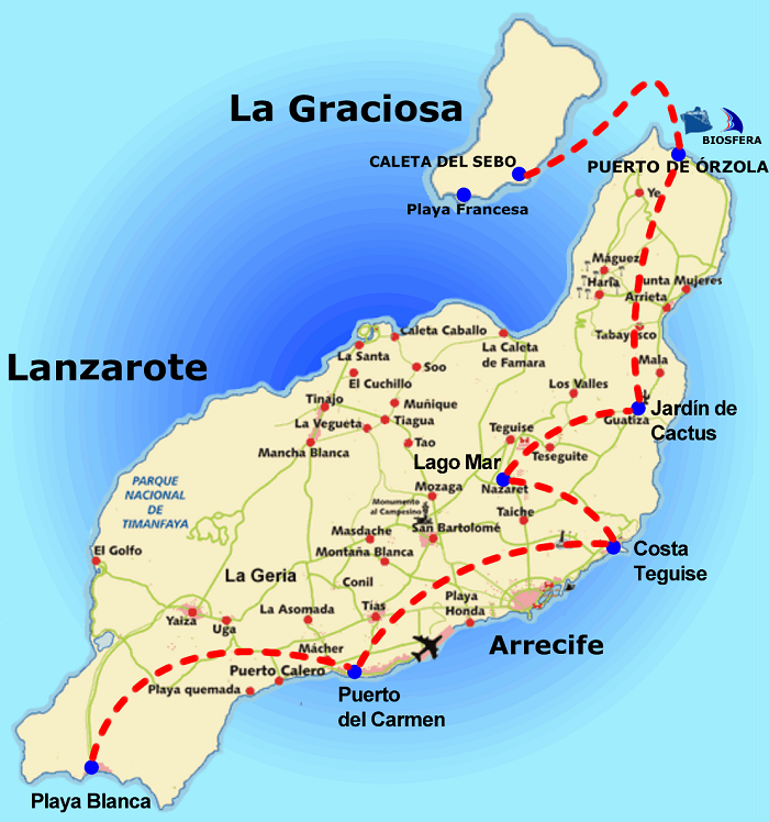
Aside from relaxing at the beach, there are several activities that you can enjoy in Lanzarote. You can go surfing or hiking, whatever activity suits you. Of course, you can also go sightseeing. As mentioned, Lanzarote has plenty of interesting attractions that are truly worth your time. Aside from the Timanfaya National Park, you can also visit the Montañas del Fuego, Jameos del Agua, Cueva de los Verdes, Fundación César Manrique, and Mirador Del Rio. Make sure you grab a copy of our Lanzarote Tourist Sightseeing Map to guide you into exploring these amazing places.
Some of the attractions in Lanzarote can best be explored on foot. So go check out our Lanzarote Walking Tour Maps. It provides information on the various walking routes and trails in the island. But if you prefer a more comfortable way of discovering the island, you better take advantage of the hop on hop off bus tours. Our Lanzarote Hop on Hop off Bus Map will provide you with information on where these buses will take you.
Read More See Less